SWAN8: The Green Seafront Stabilisation & Enhancement Scheme
Development proposals to stabilise and enhance Sandpit Field, and adjoining land, as shown on the Policies Map, will be supported to protect it as an important public open space, provided they:
- Improve ground stability;
- Result in a net gain in biodiversity;
- Use high-quality design to improve the appearance of the area, in keeping with the Dorset National Landscape and proximity to the Swanage Conservation Area;
- Improve site accessibility by creating step-free accesses where feasible; and
- Conserve and enhance heritage boundary features, where practicable.
The removal and infilling of the section of Walrond Road east of De Moulham Road in order to create a larger, continuous area of public open space, will also be supported.
- This policy supports important proposals to enhance the vital public open space on the seafront for the enjoyment of the local community and visitors. The proposals are in accordance with the provisions of National Decision-Making Policy F9 on managing development in Coastal Change Management Areas (like that of Purbeck, per PLP2 Policy E6) and with PLP2 Policies I4 and EE4 on safeguarding existing facilities and on tourism respectively.
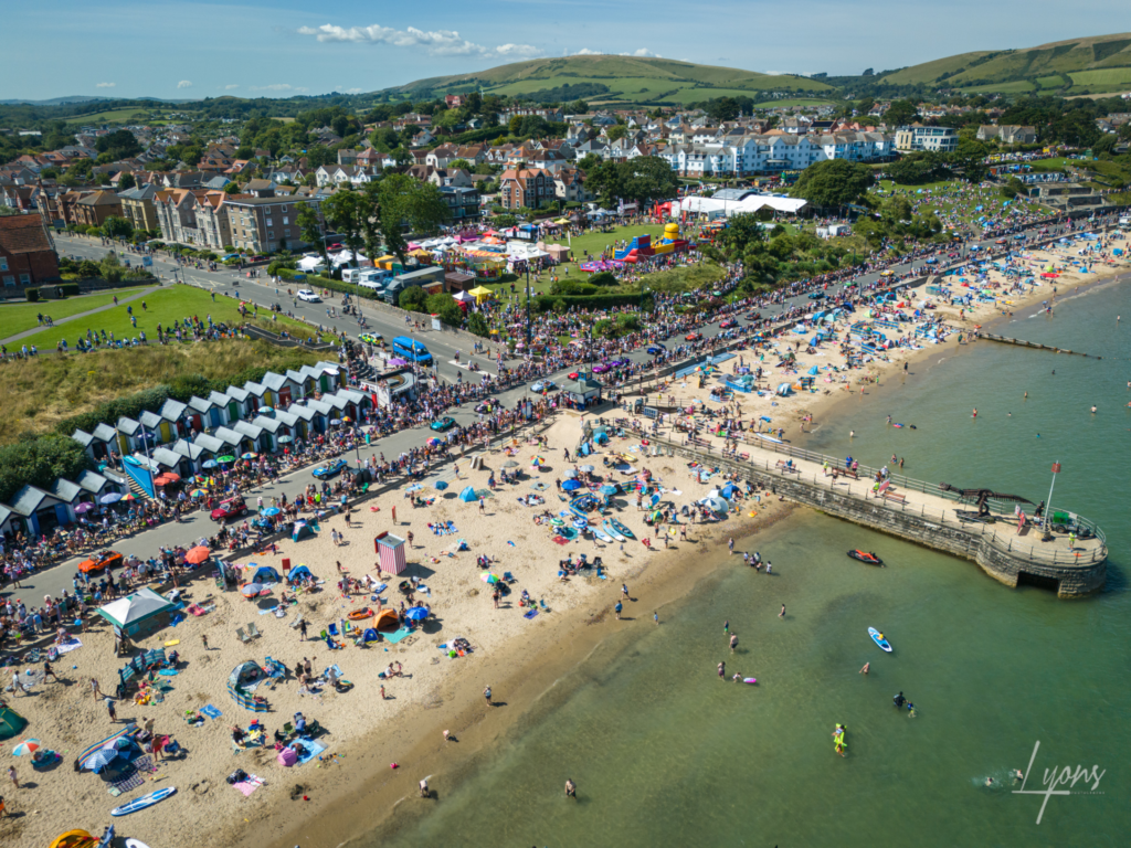
- The Swanage Green Seafront Stabilisation and Enhancement Scheme is a key project designed to protect and improve some of the town’s most cherished public spaces – Sandpit Field, Weather Station Field, and the Spa beach hut area. Without interventions, the land could become unsafe for public use, costs for future repairs would increase significantly and Swanage could lose key spaces used for events, recreation, and tourism.
- The scheme will stabilise the ground to prevent further movement and damage; protect public access to these important green spaces; and enhance the area with improved accessibility, biodiversity, and community facilities. It should preserve the boundary walls and improve the beach huts, together with new interpretative signage.
Policy Map
ArcGIS map © Esri. Contains OS data © Crown Copyright and database right 2026 OS AC0000812260. Contains public sector information licensed under the Open Government Licence v3.0. Terms and Conditions Apply. Looking for more map layers? Explore the full Policy Map