SWAN7: Green Spaces & Recreation
- The Neighbourhood Plan designates the following sites, as shown on the Policies Map, as Local Green Spaces for the purpose of applying National Decision-Making Policy HC8:
- Beach Gardens
- Northbrook Copse
- Open space on the seafront formed by the Recreation Ground, Sandpit Field, Weather Station Field and green space adjacent to The Spa
- Playing Field off Bon Accord Road
- Benlease Greenspace off Higher Day’s Road
- The open space formed by King George V Playing Field, Queen Elizabeth II (‘Forres’) Field and Kirkwood Park off Victoria Avenue
- Herston Village Green, High street/A351
- Herston Community Field, off Jubilee Road
- Public Open Space, Marsh Way
- Prince Albert Gardens
- Prospect Garden Pocket Park
- The Neighbourhood Plan identifies the following open spaces and recreation areas, as shown on the Policies Map, for the purpose of applying National Decision-Making Policy HC7:
- Day’s Park and Journey’s End
- Swanage Cricket Club
- Prospect Allotments
- Peveril Point and The Downs Local Nature Reserve
- Durlston Country Park National Nature Reserve
- Townsend Nature Reserve
- St. Mark’s School and The Swanage School playing fields
- Playing field off Sydenham Road
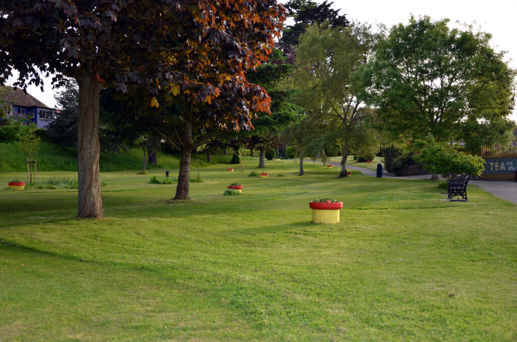
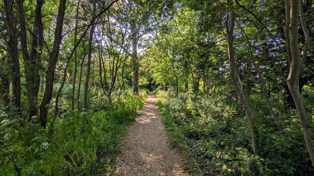
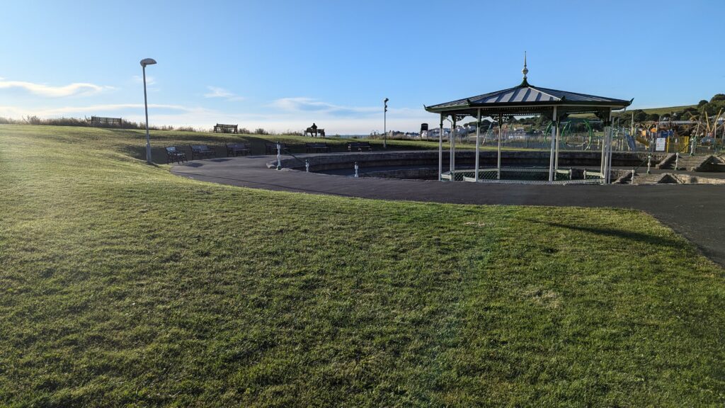
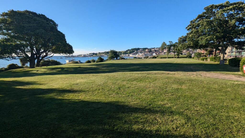
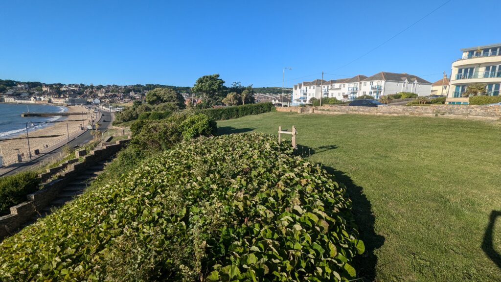
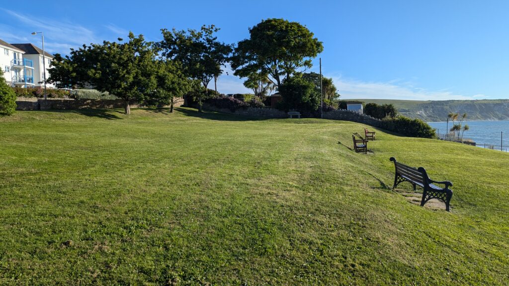
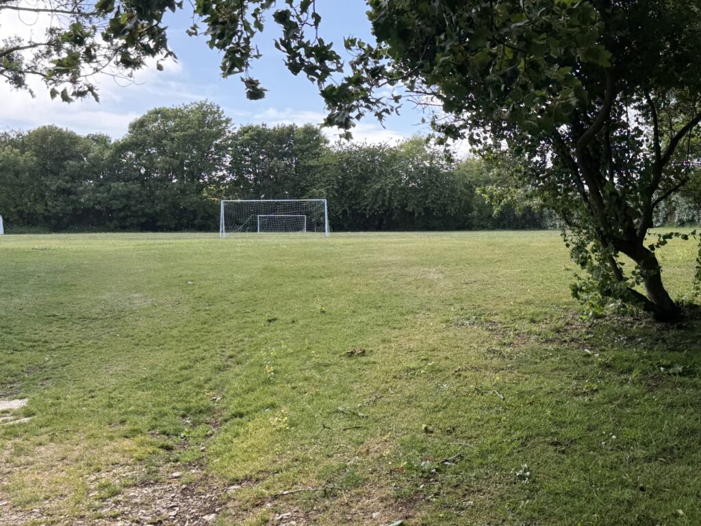
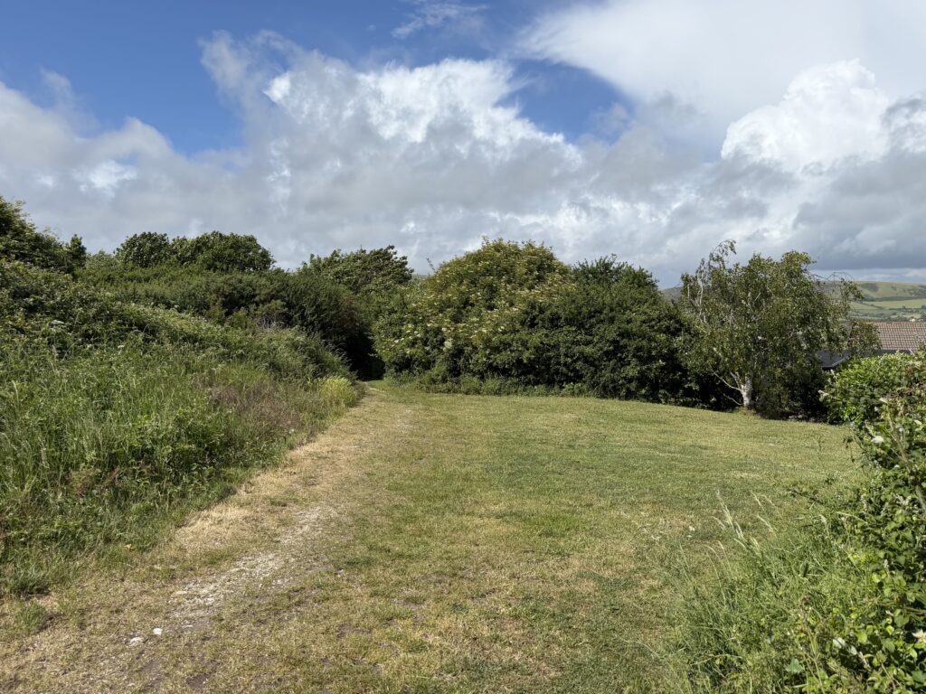
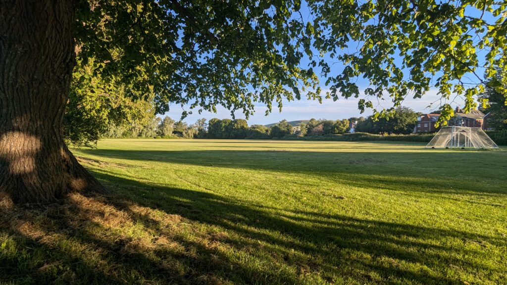
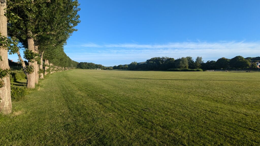
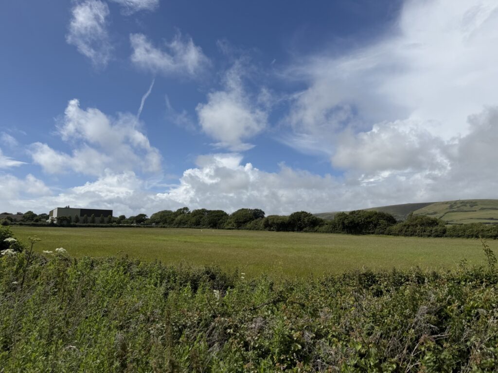
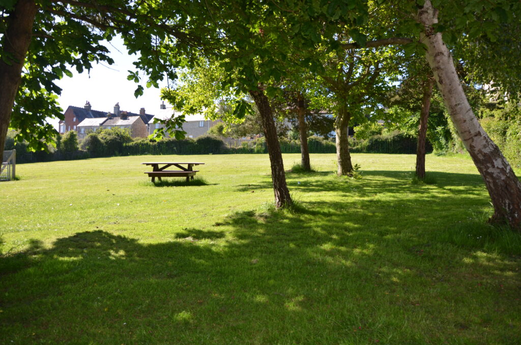
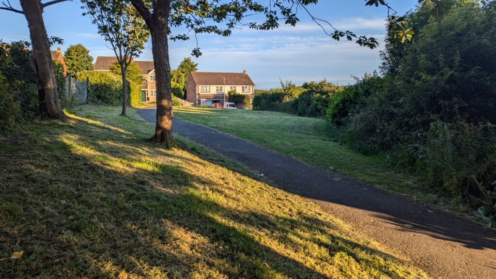
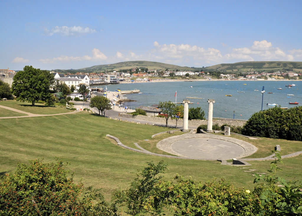
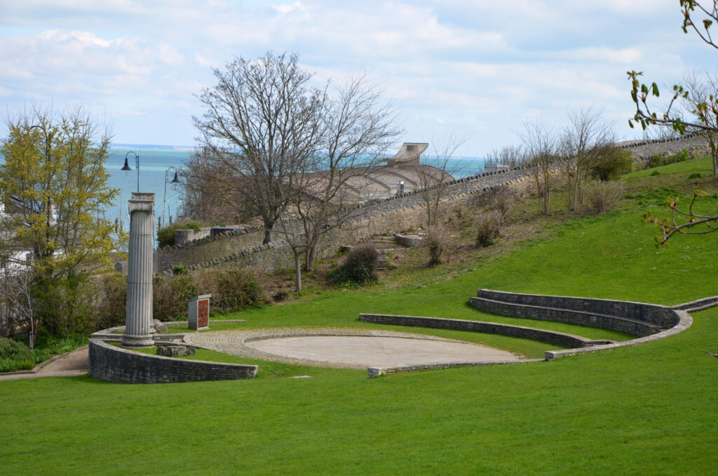
- This policy serves two purposes in seeking to protect the town’s precious green spaces and recreation assets for residents and visitors alike to enjoy. Clause A implements National Decision-Making Policy HC8 by identifying ten open spaces that are considered to meet the national policy tests to be designated Local Green Spaces. Some of the sites were identified in Policy OSR of the SLP.
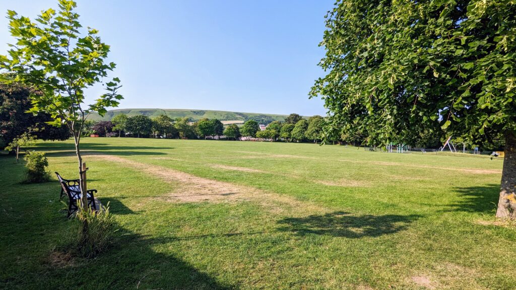
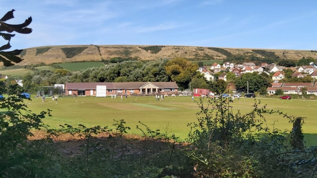
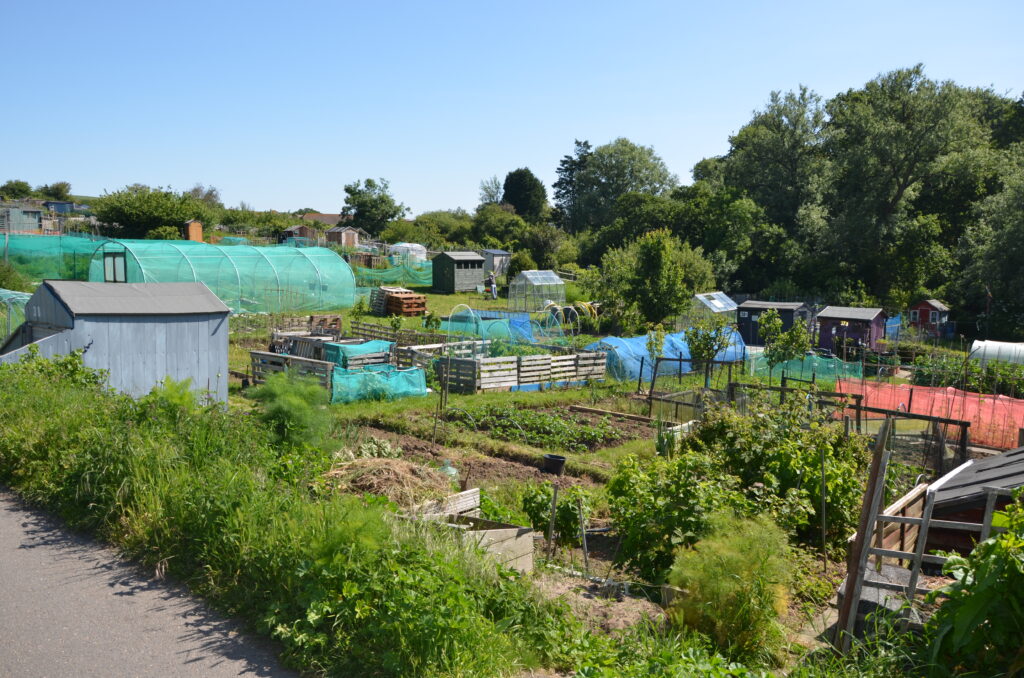

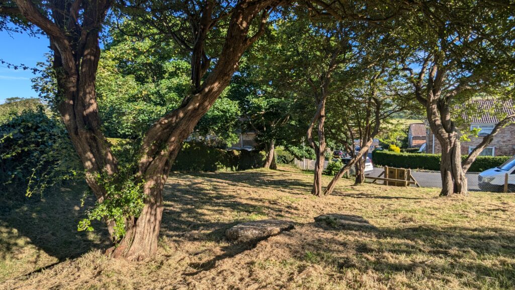
- The land in clause B is also precious but by way of either its location, large scale and/or land use would not meet those national policy tests. The policy therefore implements National Decision-Making Policy HC7 on existing recreation facilities and complements PLP Policy I4 in taking forward all the other sites from Policy OSR that also have an important open space and recreational role.
Policy Map
ArcGIS map © Esri. Contains OS data © Crown Copyright and database right 2026 OS AC0000812260. Contains public sector information licensed under the Open Government Licence v3.0. Terms and Conditions Apply. Looking for more map layers? Explore the full Policy Map