
SWAN6: Design Guidance
The Neighbourhood Plan designates Areas of Special Character, as shown on the Policies Map, for the purpose of applying National Decision-Making Policies DP3 (on key principles for well-designed places) and HE7 (on decisions on non-designated heritage assets) by reference to the Swanage Townscape Character Assessment.
The design quality of development proposals will be assessed against the Swanage Townscape Character Assessment, the Purbeck District Design Guide (until replaced by the Dorset Design Code) and the Swanage Green Infrastructure Strategy In applying the relevant National Decision-Making Policies.
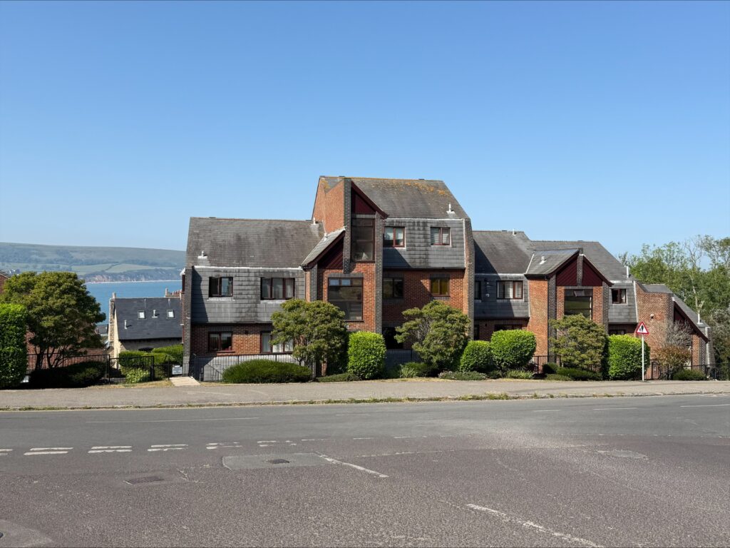
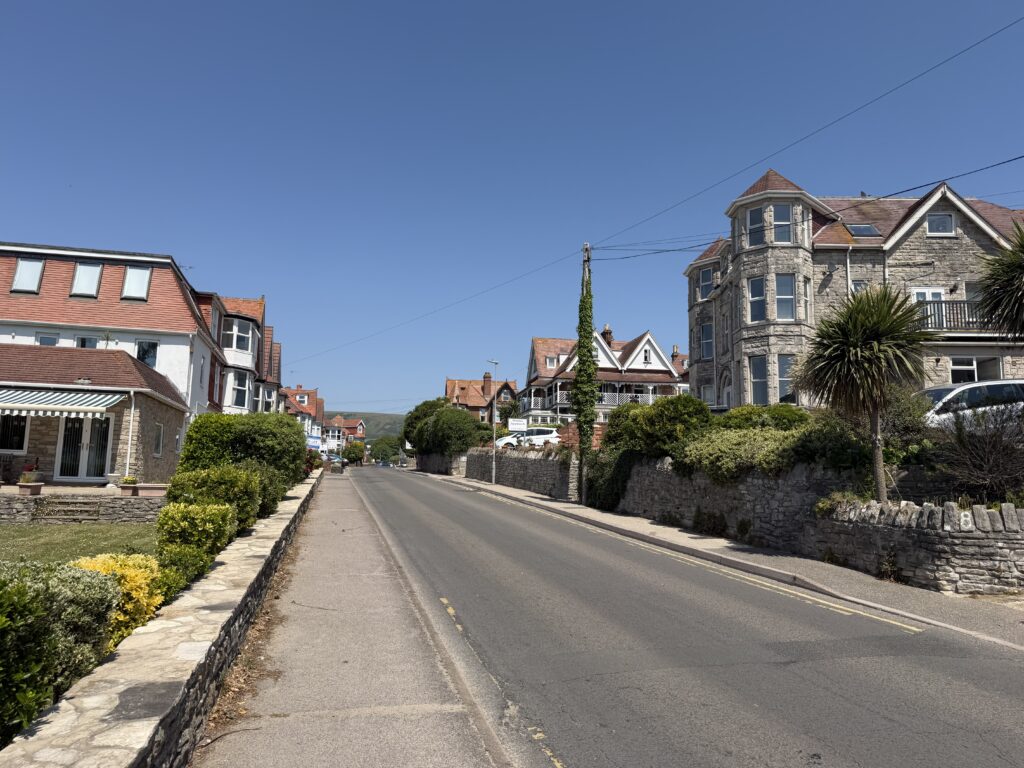
- This policy implements National Decision-Making Policies DP3 on establishing key principles for well-designed places and HE7 on managing proposals effecting Areas of Special Character as local heritage assets. In doing so it takes forward SLP Policy STCD and complements PLP Policy E12 which both set out the expectations for the quality of design proposals in the town. Although of necessity the guidance on which it depends is supplementary to the policy, it requires applicants to show they have understood how the guidance should be applied to their proposal and how it has informed their design decisions.
- Swanage is a historic town widely appreciated for the distinctive character of the built environment. Planning policy is already in place to provide special protection of this character in certain parts of the town. In particular, there are two conservation areas, one focused on the historic town centre and seafront and the other at Herston. These are coloured brown on the map. Conservation areas exist to protect those parts of towns and villages that have the most special architectural and historic interest. These areas are protected under specific legislation and are not the subject of this Plan.
- Other parts of the town which are not designated as conservation areas can still be provided with a degree of protection through the Plan, if they are designated as areas of distinctive local character. This designation will not prohibit change or development in these areas, but it is intended to ensure that any proposed development will be of a high design quality that does not have a negative impact on the character of the area.
- Four areas were designated in the SLP as either ‘Areas of High Townscape Value’ or ‘Areas of Distinctive Local Character’. The policy proposes to replace these terms with a single designation – ‘Areas of Special Character’ – and, drawing on further townscape analysis undertaken for the Plan, to enlarge two of the existing areas and to designate two additional areas1.
- Although more than a decade old, the Swanage Townscape Character Assessment continues to provide a relevant summary of the essential characteristics of the town’s buildings, spaces and views. Its guidance is also generally in accordance with the National Model Design Code, although its approach stops short of seeking to define building and plot metrics in coding.
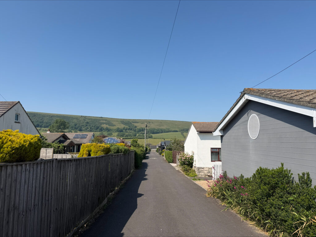
- The new Areas of Special Character are Ballard Estate, De Moulham Estate, Kings Road West, South Swanage, and Ulwell Road. The first area comprises the Ballard Estate and Ballard Lee, which are valued for their historic origin as a WW1 army camp with a grid layout of long narrow huts, some still extant. In this Area proposals should seek to preserve its dominant single storey character.
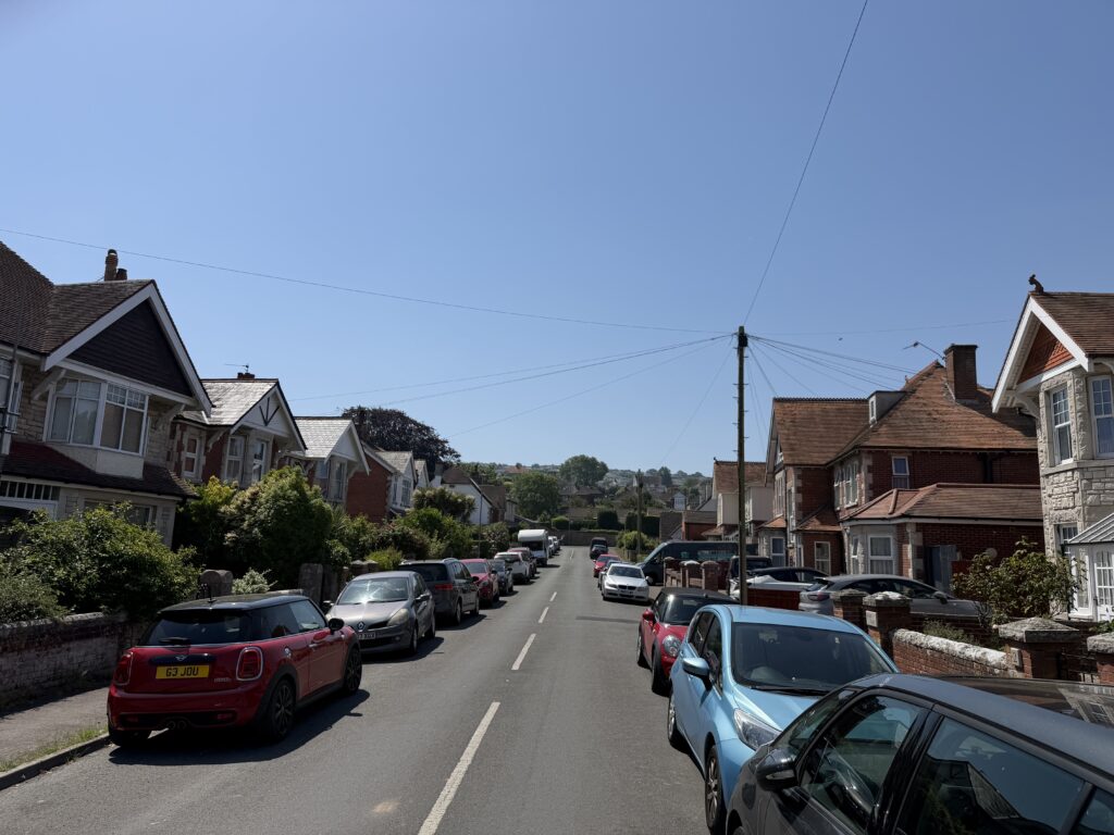
- The second area comprises the original area of the De Moulham Estate located to the north and south of Beach Gardens, between De Moulham Road and Northbrook Road, and extending up to (and including) Bonfields Avenue. The proposed extension to this area runs southwards from Walrond Road and to the west of Northbrook Road, and includes the whole of Walrond Road, the former Purbeck View School site, the former Harrow House International College site, Rabling Road, Rabling Lane, and the northern section of Victoria Avenue up to Prospect Green (Pocket Park). Within this enlarged Area, the dominant building form is detached houses set in large plots and gardens, often served by back lanes.
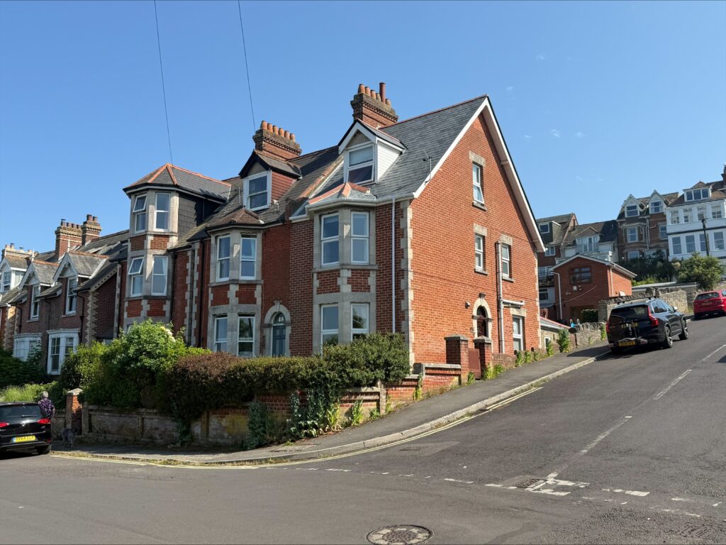
- The third area comprises Cecil Road, Linden Road, Princess Road, and parts of Court Hill and Kings Road West. In this Area detached and terraced buildings in the Edwardian style dominate having been constructed following the arrival of the railway to the town. Many have distinctive architectural features that are replicated along entire streets, and which set a rhythm and pattern that warranted repetition in the essential building form elements and materials.
- The fourth area comprises both sides of Ulwell Road from Ocean Bay to All Saints Church, together with the south side of Highcliffe Road. It is characterised by distinctive Edwardian villas that form a cohesive “gateway” to the beach and town, making prominent use of local stone and brick. Common architectural features include – decorative chimney details, turrets, fretted bargeboards, and flamboyant balconies.
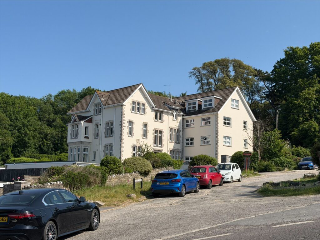
- It is also proposed to extend the original South Swanage and Durlston area to include the land to the north between Atlantic Road and Queens Road, incorporating Swanage Hospital and Swanage Primary School. The extension would also include all of Newton Road and Salisbury Road, as well as the southern side of Grosvenor Road. This is a large suburban, cliff top area characterised by Edwardian and early-to-mid-20th-century villas set within generous mature gardens and served by back lanes.
- Evidence for non-designated heritage assets has been supported by the findings of the Swanage Local Survey of Non-designated Heritage Assets (2017–2021), undertaken by The Purbeck Society as part of its Local Listing project in Swanage. ↩︎
Policy Map
ArcGIS map © Esri. Contains OS data © Crown Copyright and database right 2026 OS AC0000812260. Contains public sector information licensed under the Open Government Licence v3.0. Terms and Conditions Apply. Looking for more map layers? Explore the full Policy Map