
SWAN5: Town Centre
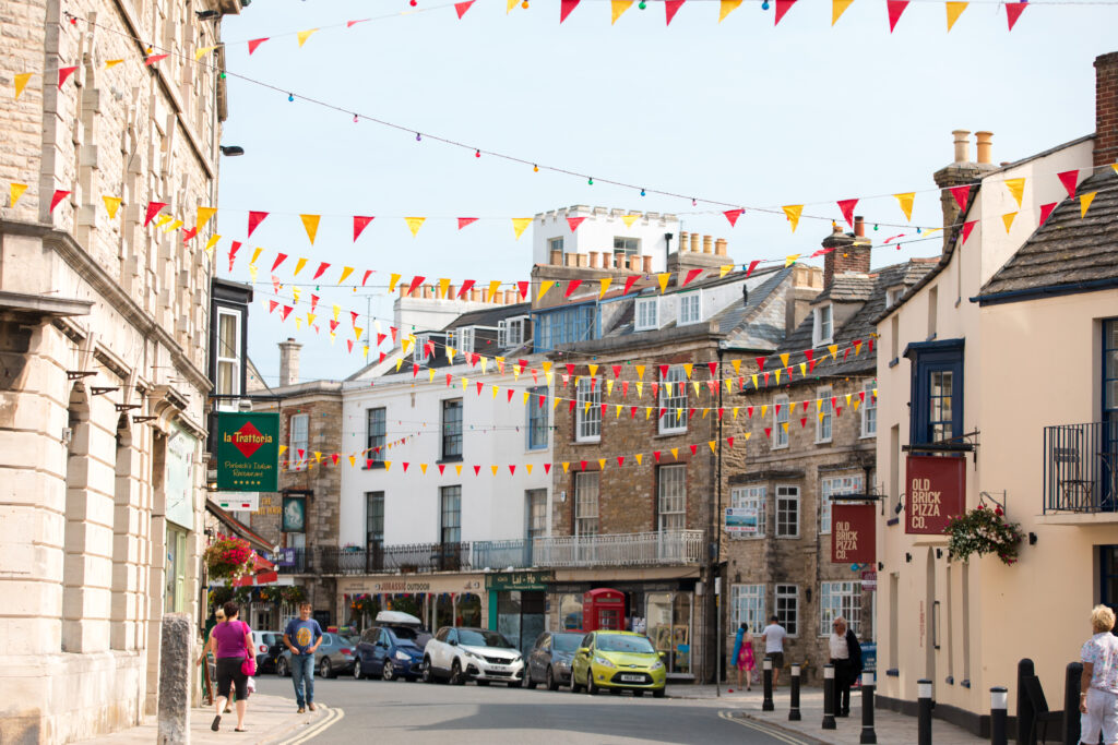
- The Neighbourhood Plan defines the boundary of Swanage Town Centre, as shown on the Policies Map for the purpose of applying National Decision-Making Policies TC2 and TC3.
- Proposals to redevelop the former Post Office on Kings West Road and the existing Sorting Depot on Kings Road East, as shown on the Policies Map, will be supported for a mixed use scheme comprising commercial or business Use Classes E(a)(b) and/or (c) on the ground floor with residential units above. In applying National Decision-Making Policy DP3, development proposals should respond to their context and create well-designed places by adopting the following key principles:
- The buildings fronting onto Kings Road West are three storeys in height and the buildings fronting on to Kings Road East are two storeys;
- The building line to Kings Road West is no further forward than the position of the adjoining buildings and the building line to Kings Road East is no more than 1m behind the back of pavement;
- The building forms are terraced with pitched roofs;
- The scheme layout and design must reflect the relative vulnerability of different uses to the risk of flooding on part of the site;
- The amenities of the established social use of No.27 Kings Road West and of the residential use of No.28 Kings Road East are not harmed; and
- The vehicular access is from Kings Road East, including any servicing of the new commercial or business uses.
- The Neighbourhood Plan makes no specific provision for additional retail floorspace (Use Class E(a)). However, proposals for new retail floorspace will be supported where they form part of an appropriate scheme and do not undermine the vitality and viability of the town centre.
- This policy implements National Decision-Making Policies TC2 and TC3 and complements PLP Policy EE3 on town centre planning. The town centre remains a vital part of the success of the town and will need to continue to evolve as its resident population increases. However, the scope for managing change in town centres through plan making is now more limited, with the changes made to the Use Class Order in 2020.
- The policy also defines how National Decision-Making Policy DP3 on establishing key principles for well-designed places should be implemented in the redevelopment of the former Post Office site and existing Sorting Office site, which both occupy prominent locations on the edge of the town centre. This policy has been included should the sites become vacant later in the plan period. This policy should encourage suitable proposals to come forward.
Policy Map
ArcGIS map © Esri. Contains OS data © Crown Copyright and database right 2026 OS AC0000812260. Contains public sector information licensed under the Open Government Licence v3.0. Terms and Conditions Apply. Looking for more map layers? Explore the full Policy Map